Sharp Peak is a tough hike & a helluva confusing route!! Initially my mum & i started out with the agenda of going on the Maclehose 1 & 2 trail. We took a cab from Shau Kei Wan MTR. Now, our biggest mistake is starting out the hike close to noon. ALL hikes should always start early in the morning like around 8-9am.
Why?
Because in case you get lost during the hike, at least you would have time to get out whilst it's still day time & not during night fall. It is extremely dangerous & scary as hell to be hiking in the dark where there are no street lamps built for hikers. It's pitch black.
Okay back to the Sharp Peak route.. So upon reaching the Machlehouse trail, instead of dropping us at the head start of trail 1, the driver dropped us at the end of trail 2. So we hiked backwards instead. I made a last min decision to go on the Sharp Peak hike from fellow hikers who were embarking on the same trail as us. & It was sorta the best decision ever as the hike was satisfying plus the scenery was amazing. The down sides of the hike would be getting lost on a beach & the directions of this route is bad. Like really bad because there are barely any signs leading you to the right route.
Towards the end of the hike, at a certain point you'd be able to see 2 beaches. But there are actually 3 beaches side by side. Pick the beach on the right (which is the middle beach). Getting to the 2nd beach from the 1st beach will take time & alrd when we reached the 2nd beach, it took us 45mins to figure out how to get outta the beach. There were no signs leading to the 3rd beach & we cldnt find any route. I flew my drone to see if there was any other beach beside the one we were on & there was. I used the drone to see if there's a route too though it was kinda difficult to see as it was covered with trees. We found a route in the end beside a wooden sign with chinese words on it. The route is beside the sign on the right. There's sorta a huge plant covered the route but when you get closer you can actually see a route. So go with it.
This Sharp Peak route actually leads to Sai Wan beach too. Sheung Lok stream is within the beach which makes an awesome place to take a dip or do a cliff jump. Which is why i mentioned earlier to start the hike really early. Don't forget hiking out also takes time.
Hike Duration: 6hours
Directions:
Take the train to Shau Kei Wan station & take a cab to Pak Tam Au (NOT Pak Tam Chung). Or just show them the map below that i've provided. I took a photo of the Sharp Peak map from a hiker who was doing the Sharp Peak trail too. Hope it helps! The hike starts from Pak Tam Au & should end at Sai Wan Beach where you can rest for abit. The guy told me theres a ferry from Sai Wan that can take you to Sai Kung pier which is where you can eat & go back home from there. I am not sure whether there really is a ferry from Sai Wan but the hike back out from Sai Wan Beach to the bus stop which is right outside the entrance of the route takes roughly abt 90mins.
The start of the trails pretty much looks like this for roughly about 5km i think? But once you get slightly higher where the start of the Sharp Peak hike is, the view gets much better trust me.
The beginning of the hike is pretty boring. It's covered by towering trees/plants. But after climbing up insane slopes that'll give you insane leg burn, you'll see this board of Sharp Peak. Climb up the stairs which is the start of the Sharp Peak Route.
The start of the hike are these steps.
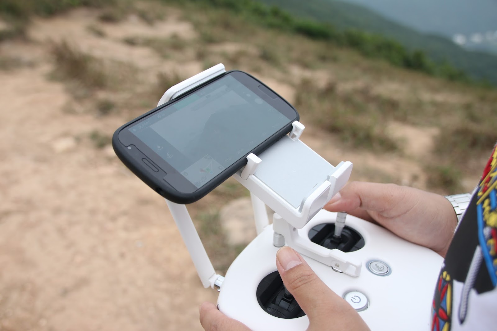
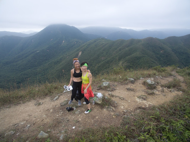
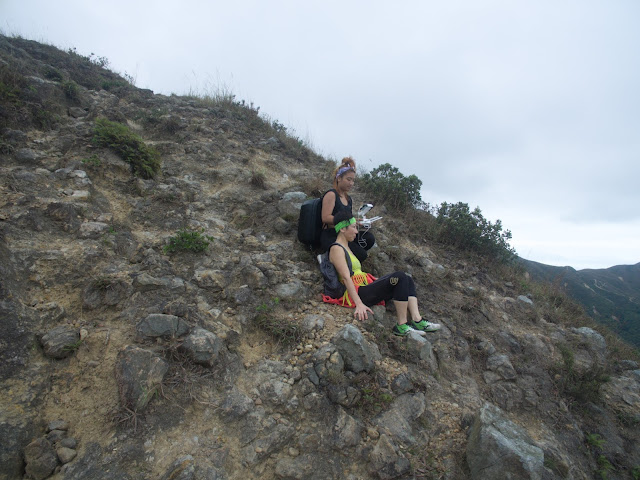
Lugged my drone along & got some amazing photos + videos during the hike. The photos are those aerial shots which i have uploaded in this post.
When you see this sign, it's abit of a tough hike with climbing uphill & just as the sign says, it really is a treacherous route. Pictures below proof how steep the climb was.
The route for this hike is steep & def not for people who are unfit or have injuries. Oh &, a major fear of heights is also not advisable to go on this hike. Lol.
This is the beach we ended up on. There is another beach on the far end you can see a bit of it in the photo above. As i mentioned in the first part of my post, hike down to this beach (the 2nd beach). Do not go to the first one unless you have lots of energy & time to spare. Cause i saw the route to hike back up from the first beach & it's not easy plus it takes time. Also it's abit eerie as there is completely nobody on the beach. We got to the beach ard 430pm which is really bad cause getting outta there took us another 2hours and it was alrd nightfall by then.
I didn't take anymore photos after that as we were extremely exhausted plus it was getting dark & we were rushing to get back. I think if we had more time, i'd def have hiked towards Sai Wan instead of hiking back to the same route we started out from. Sai Wan is a beautiful beach with a hidden stream which you can cliff jump from.